Introducing Zenmuse P1 and L1 - The New Aerial Surveying Benchmark
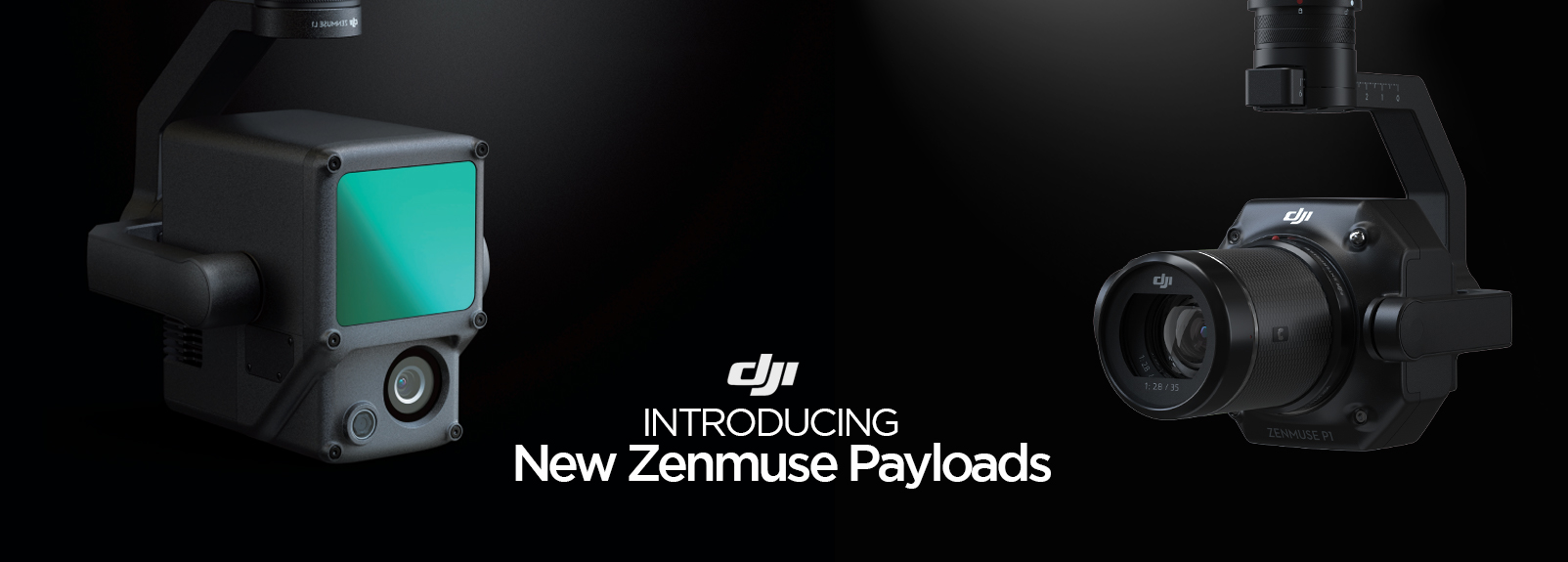
DJI has just announced two new enterprise payloads that revolutionise aerial surveying. These two new payloads mount directly to the Matrice 300 RTK, expanding DJI's reach and depth in commercial surveying, mapping and real-world modelling. Our Enterprise team are ready to help talk you through these two payloads and let you know which ones will be the best suited for your business. Please do not hesitate to contact us for availability and our competitive pricings. Email us here: enterprise@d1store.com.au or phone us: (03) 9288 7859
Zenmuse P1
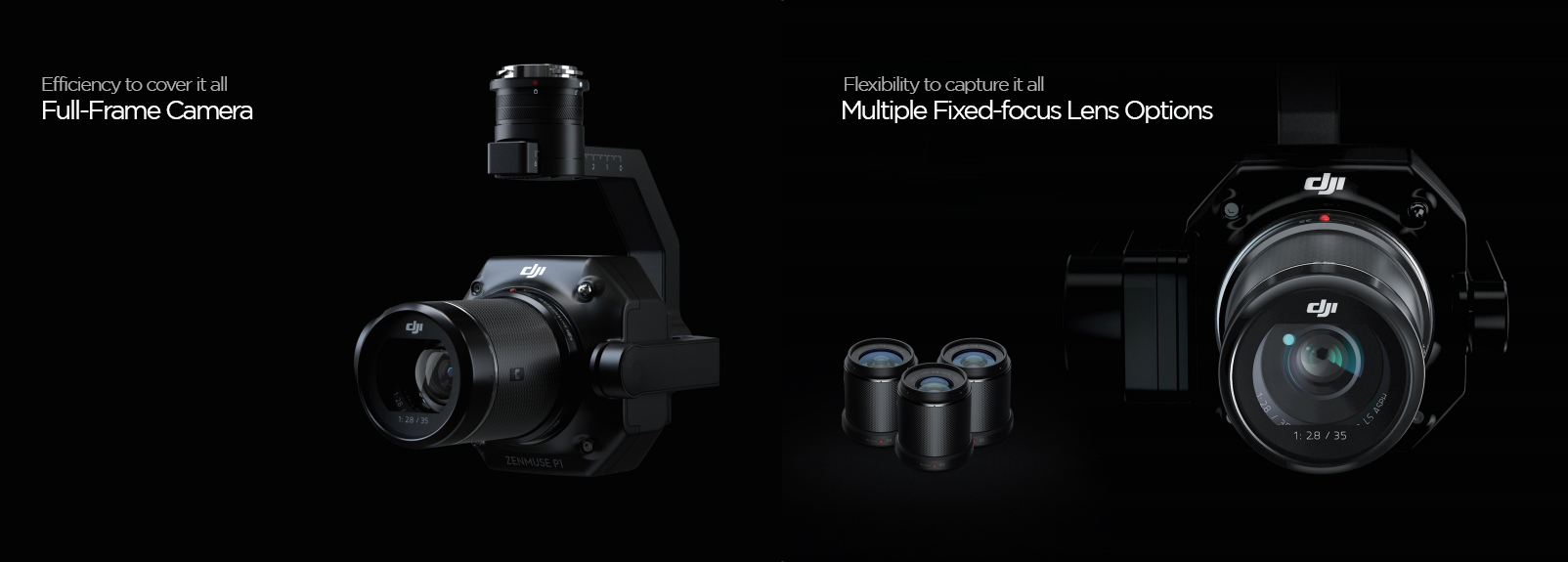
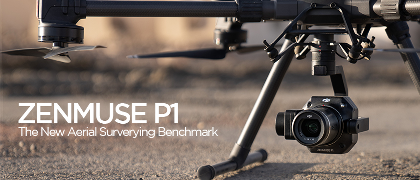 The Zenmuse P1 integrates a full-frame sensor with interchangeable fixed-focus lenses on a 3-axis stabilised gimbal. This payload is specifically designed for photogrammetry flight missions and takes efficiency/accuracy to a whole new level.
 Accuracy without GPS: 3 cm horizontally / 5 cm vertically
High Efficiency: 3 km surface area covered in a single flight with a photo taken every 0.7s during flight.
Full-Frame Sensor: 45 MP low-noise Sensor, 4.4 um Pixel Size.
Gimbal: 3-axis stabilised gimbal with smart oblique capture
Global Mechanical Shutter: Maximum shutter speed of 1/2000 seconds.
Timesync 2.0: Synchronisation at the microsecond level across modules.
Versatility: Created 2D, 3D and detailed models.
Lens compatibility: Supports 24/35/50mm lenses with DJI DL Mounts.
Work Smart, Work Fast
Smart Oblique Capture
Cover 7.5km in a single workday with the P1. Smart Oblique Capture elevates the efficiency of your mission where the gimbal will automatically rotate to take photos at the different angles needed. Only photos essential to the reconstruction will be taken at the edge of the flight area, meaning your post processing efficiency is increased 20% up to 50%.
Fieldwork Report
Verify the data quality immediately post-flight by checking the position data and number of images acquired, as well as RTK status and positioning accuracy.
Smart Data Management
All your mission data management is streamlined.
— Mission results files are automatically associated with the mission name and mission time.
— A centralised storage location for photos, GNSS data and TimeStamps MRK files.
— The image metadata contains the cameras intrinsic and extrinsic parameter of the status of RTK.
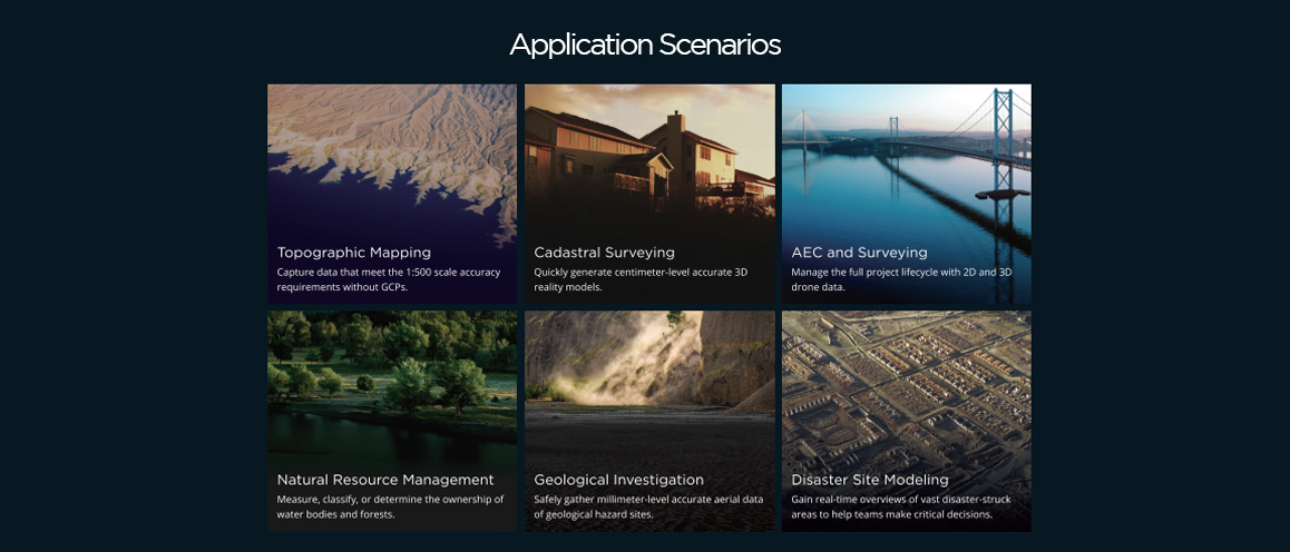
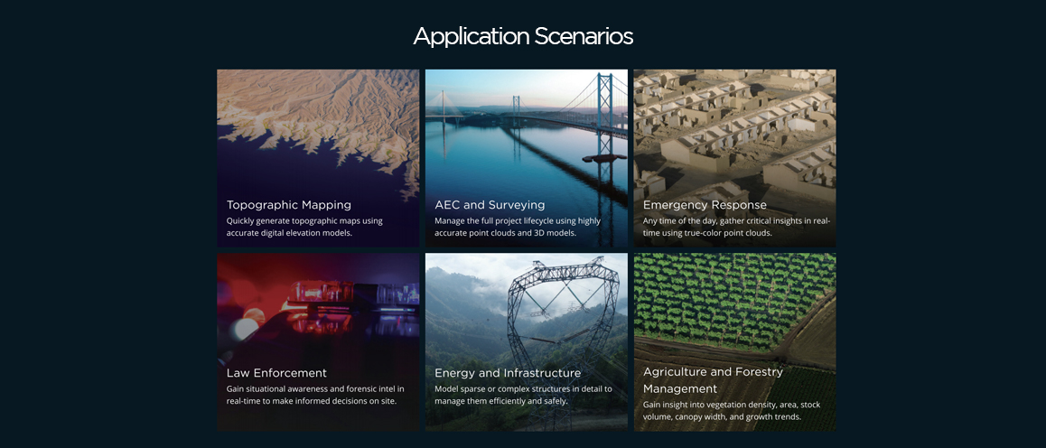
A Mission Mode for Any Scenario
2D Orthomosaic Mission: Generate orthomosaics without GCPs using the P1, perfect for medium to large-area operations.
3D Oblique Mission: Effortlessly acquire oblique images from multiple angles that meet the 3D modelling requirements across industries such as urban planning and centimeter-level accurate cadastral surveys to serve 3D reality models and smart city planning.
Detailed Modelling Mission: Acquire ultra-high resolution image data of vertical or slanted surfaces from a safe distance that faithfully recreates subtle textures, structures and features for detailed reconstructions, geological surveys, heritage site conservation, hydraulic engineering and more.
Real-time Mapping Mission: Gather geographic information of large areas in real-time using DJI Terra so that teams can make crucial decisions quickly on site.
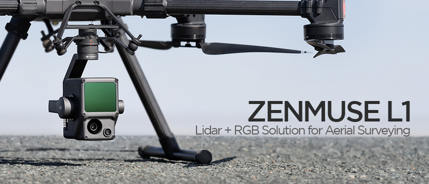
Zenmuse L1
 The Zenmuse L1 integrates a Livox Lidar module, a high accuracy IMU, and a camera with a 1-inch CMOS on a 3-axis stabilised gimbal. When used with Matrice 300 RTK and DJI Terra, the L1 forms a complete solution that gives you real-time 3D data throughout the day, efficiently capturing the details of complex structures and delivering highly accurate reconstructed models.
 Payload: Integrating a Lidar module, RGB camera and a high accuracy IMU.
High efficiency: Will cover up to 2km surface area in a single flight.
High Accuracy: Vertical accuracy is 5 cm and the horizontal accuracy is 10 cm, incorporates GNSS data.
Point Rate: 240,000 pts/s.
Returns: Supports 3 returns.
Detection Range: 450 m (80% reflectivity, 0 klx)
Ingress protection level: IP44 Ingress Protection Level, ready to fly in rainy/foggy environments as well as night.
Work Smarter Than Ever Before
Livox Lidar Module
Frame Lidar with up to 100% effective point cloud results.
Large detection range of 450 m (80% reflectivity, 0 klx) / 190 m (10% reflectivity, 100 klx).
Effective Point Rate: 240,000 pts/s
Supports three returns
Line Scan Mode and Non-repetitive Petal Scan Mode.
RGB Camera
20 MP 1-Inch CMOS sensor with a Mechanical Shutter.
High-accuracy IMU
Accuracy: 0.025 (roll/pitch) / 0.08 (yaw)
Vision sensor for position accuracy
GNSS, IMU, RGB Data Fusion
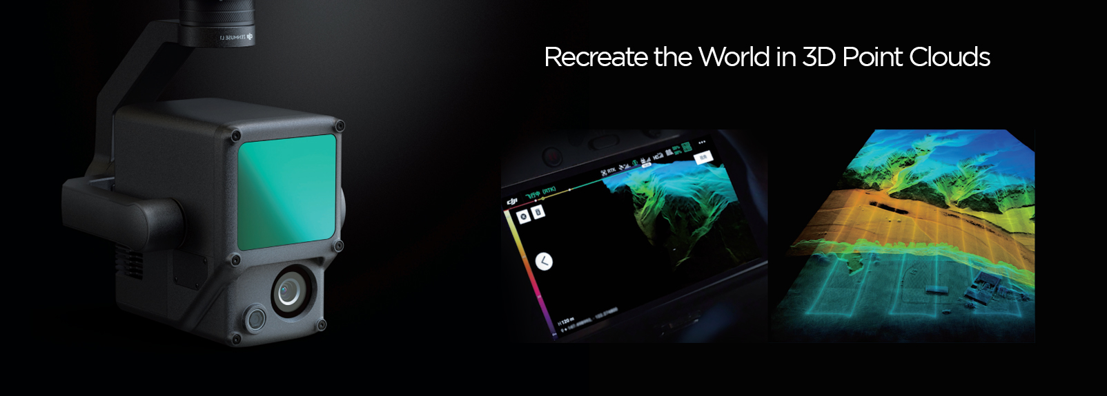
Recreate the World in 3D Point Clouds
Point Cloud LiveView
Real-time point clouds provide immediate insights onsite, so operators are informed to make critical decisions quickly. You can also verify fieldwork quality by checking point cloud data immediately after each flight.
Measurement and Annotation
Acquire and communicate critical dimensions on the point cloud using measurements and annotations.
One-stop post-processing
DJI Terra fuses the IMU and GNSS data for point cloud and visible light calculations, in addition to conducting POS data calculations so you can effortlessly generate reconstructed models and accuracy reports.